Skip to main content
Maps
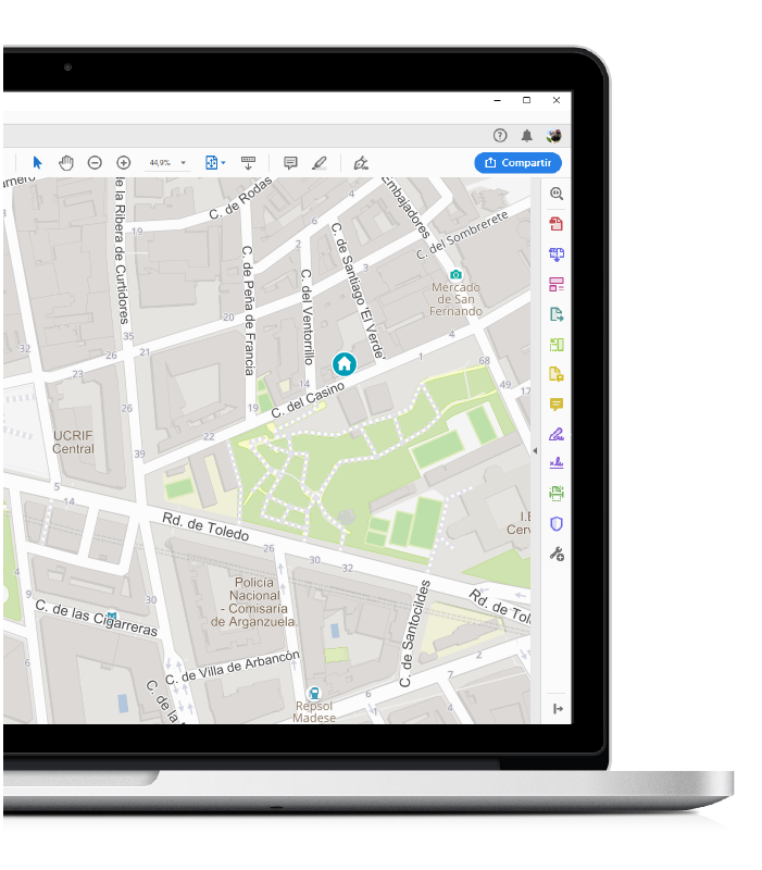
RICH AND ACCURATE STATIC MAPS
- TomTom maps enriched with OSM layers
- Buildings footprints, gardens, university campus, commercial areas, main POIs, pedestrian streets, etc
- Get image in several formats: png, jpeg, gif
- Custom size (width & height)
- Custom markers, shapes and labels
- World coverage
Documentation
Dynamic maps 2D
- API JS 2D with complete functionality
- Several basemaps: TomTom, OSM, Satellite view, WMS and tiled services
- Raster tiles color manipulation
- Additional contents: POIs, traffic, truck road restrictions, neighborhoods, meteo, etc
- Custom markers, simple and complex labels and shapes
- Full controls: drag, drop, onclick, over, rotation, marker cluster & animation, etc
- Integration with address Suggest search
- Integration with reverse geocoding
- Integration with routing search
- Integration with isochrone search
- GIS functions: distance, buffer, proximity search, geofence
- Heatmaps
- World coverage
Documentation
Dynamic maps 3D
- API js 3D with basic and complex buildings.
- Several basemaps: TomTom, OSM, Satellite view, WMS and tiled services
- Additional contents: POIs, traffic, neighborhoods, meteo, etc
- Coverage on demand: we can cover Europe and North America.
Documentation
Integration with third party basemaps
- Topographic maps
- OSM
- Goverment maps

