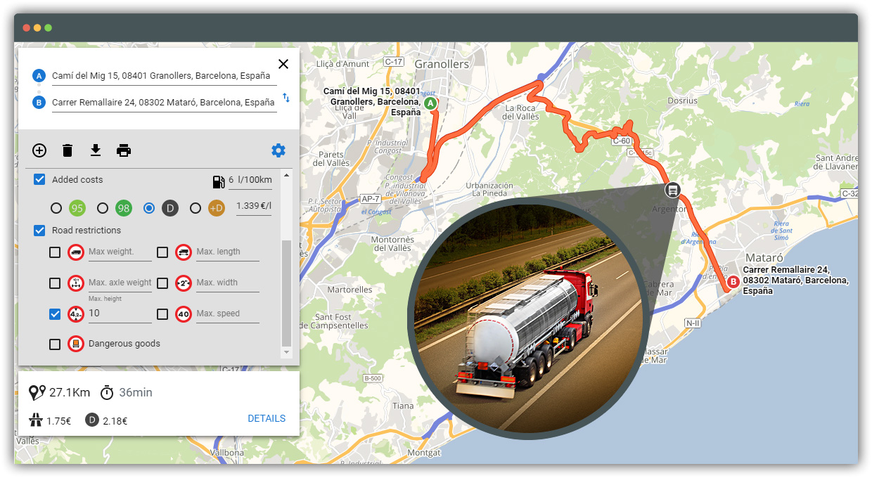
API for planning alternative routes that avoid traveling through stretches with restrictions on size, weight and transport of dangerous goods, on the European and American road network. Documentation
Truck route planner
Using road signs product from TomTom, we provide a specific routing service, taking into consideration:
- Max weight
- Max axle weight
- Max height
- Max length
- Max width
- Dangerous goods

How to use
This service is available using:
API Javascript
Webservice HTTP/JSON - XML
WMS Service
(map overlay with road restrictions)
Show road restrictions on the map
Using the Javascript API you can paint the roads with specific restrictions:
